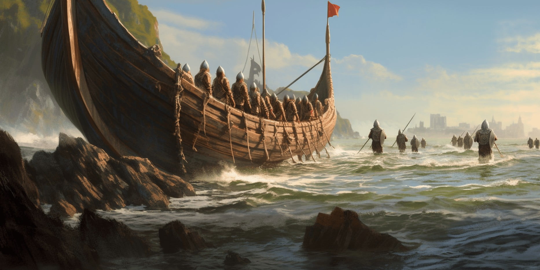
Long before the age of GPS and Google Maps, the Norse peoples were boldly traversing the North Atlantic, sailing thousands of kilometers across open waters to reach destinations such as Iceland, Greenland, and even North America. And that was before the compass ever reached the north.

The Limitations of Viking Technology
The magnetic compass wasn't introduced to Europe until the 12th century—well after the height of the Viking Age (approximately 793–1066 AD). That means Norse and Viking sailors relied entirely on observational skills and traditional knowledge passed down orally. Their longships were fast and flexible, but open-decked and vulnerable to weather, requiring both courage and precise navigation to make their journeys successful.
So how exactly did they manage?
1. The Sun and the "Sunstone"
One of the most widely discussed Viking navigation tools is the legendary "sunstone." According to Icelandic sagas and later sources, Vikings may have used a special crystal to locate the sun’s position even on overcast days.
Scientists believe that this crystal could have been Iceland spar—a form of calcite that polarizes light. By rotating the stone and finding the point where light intensity was minimized, a navigator could determine the sun’s direction with surprising accuracy.
In fair weather, Vikings used the position of the sun in the sky to determine direction. Since the sun rises in the east and sets in the west, tracking its arc could help estimate both time and orientation.

2. The Sea and Sky as a Map
Experienced Viking sailors developed an intuitive understanding of environmental cues. They watched for specific cloud formations, wave patterns, and bird behaviors to infer their location and direction.
Clouds: Certain cloud types form above landmasses, even if the land isn't yet visible. Observing these helped estimate distance from shore.
Waves and Swell: Patterns in the ocean could be read like a map. For example, reflected swells indicated proximity to islands or large coastlines.
Birds: The flight paths of seabirds such as puffins or ravens often guided sailors to land. The Vikings are even said to have released birds from ships to see which direction they flew—if they returned, land was likely not in that direction. According to the Icelanders Saga, that is how Floki managed to find Iceland - read about "Floki of The Ravens and the Colonization of Iceland" here.
3. Dead Reckoning and Sailing by Latitude
“Dead reckoning” is a process by which sailors estimate their current position based on a known past position, adjusted for speed, time, and direction. While crude compared to modern tools, it was effective when combined with regular observations.
Even more impressive is the idea that Vikings may have practiced latitude sailing. They would memorize the positions of stars or the elevation of the sun at noon to maintain a consistent north-south position (latitude), then travel east or west along it.
For example, to sail from Norway to Greenland, one would aim to maintain a steady northern latitude. Viking navigators could judge this by observing the sun’s height in the sky at mid-day or by watching particular stars rise or set at the horizon during night sailing.
While the use of navigational instruments like the "sun shadow board" is debated, some scholars argue this simple wooden disk helped Vikings maintain consistent latitude by comparing the sun’s shadow at noon.

4. Oral Tradition and Mental Mapping
Perhaps most crucial of all was the Viking tradition of oral storytelling and memory. Navigational routes were learned by heart and passed down through generations. These included not only directions but also visual markers, seasonal tips, and lore about the sea.
This created a kind of mental map, where stories about a voyage carried embedded navigational knowledge. When combined with observational techniques, these mental maps made even long, open-water journeys manageable.
For instance, one saga recounts how Leif Erikson likely followed the same route as earlier Norse explorers when sailing to North America—navigating from Norway to Iceland, then to Greenland, and finally across to Vinland (likely modern-day Newfoundland). Read about "Leif Erikson, the Viking Who Discovered America" here.
A Legacy of Innovation and Observation
Although the Vikings lacked compasses, sextants, or GPS systems, they mastered navigation through a sophisticated mix of astronomy, environmental awareness, and oral tradition. Their legendary voyages were not the result of blind luck but of cumulative knowledge and clever natural observations.
Today, researchers and reenactors continue to test Viking navigation techniques—some even using reconstructed longships and "sunstones" to cross the same oceans. These efforts confirm what the sagas have long claimed: Viking seafarers were not just warriors, but also some of the world’s most skilled navigators.

References:
Kristjánsson, L. (2005). The Sunstone and Polarized Skylight. In The History of Icelandic Science. Reykjavik: University of Iceland Press. ISBN: 9789979546517
Roesdahl, E. (1998). The Vikings (Revised Edition). London: Penguin Books. ISBN: 9780140252828
Fitzhugh, W. W., & Ward, E. I. (2000). Vikings: The North Atlantic Saga. Washington, DC: Smithsonian Institution Press. ISBN: 9781560989950
